
⟷
Sheet 4758 Siegersdorf (Zebrzydowa) of the 1:25,000 topographic map covers Brzeźnik. We keep the original full-resolution scans in our archive.
Aerial photos (orthophotos) 0
Pre-war maps
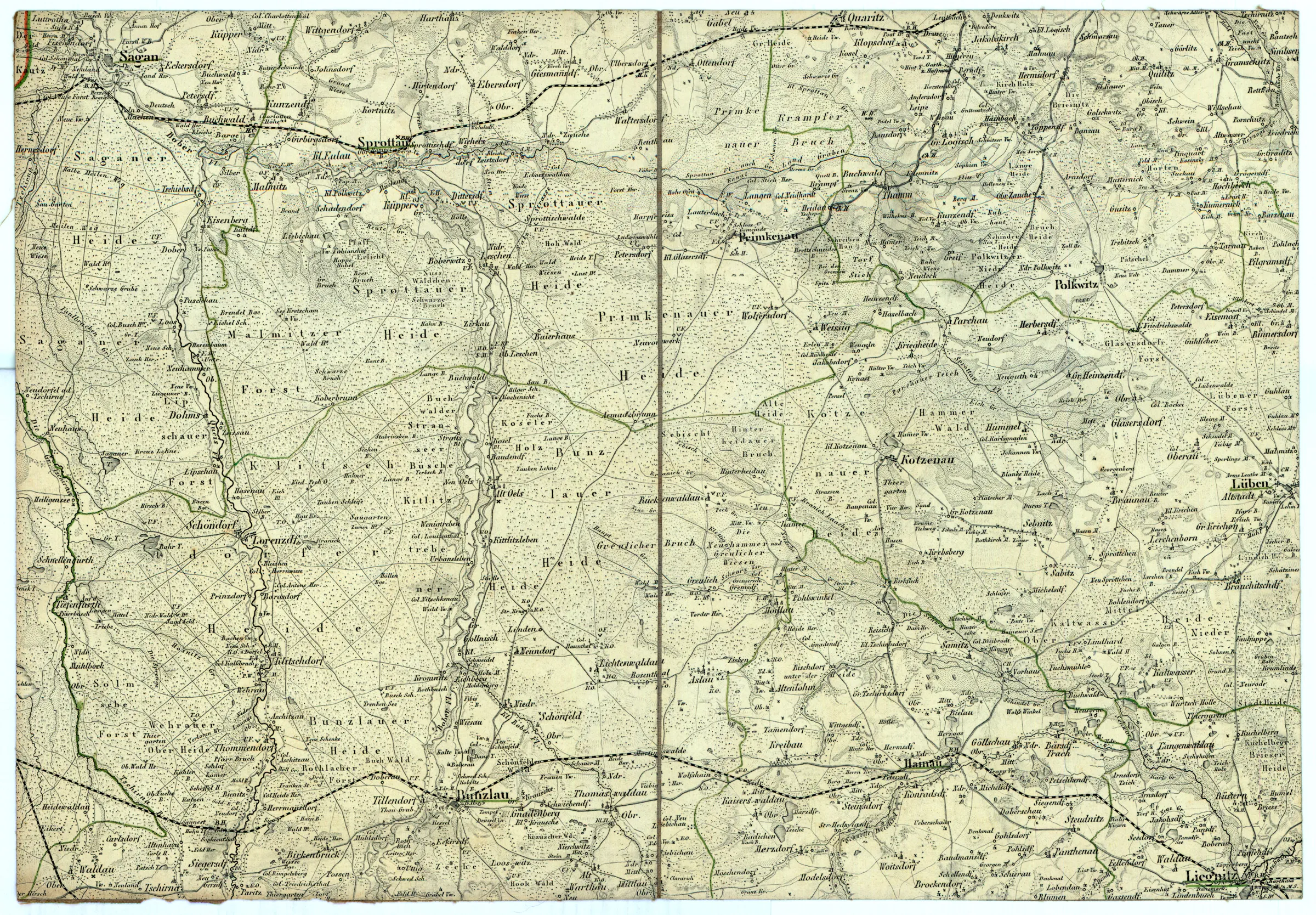
(1:200 000 Reymann's topographische Special-Karte von Central Europa)
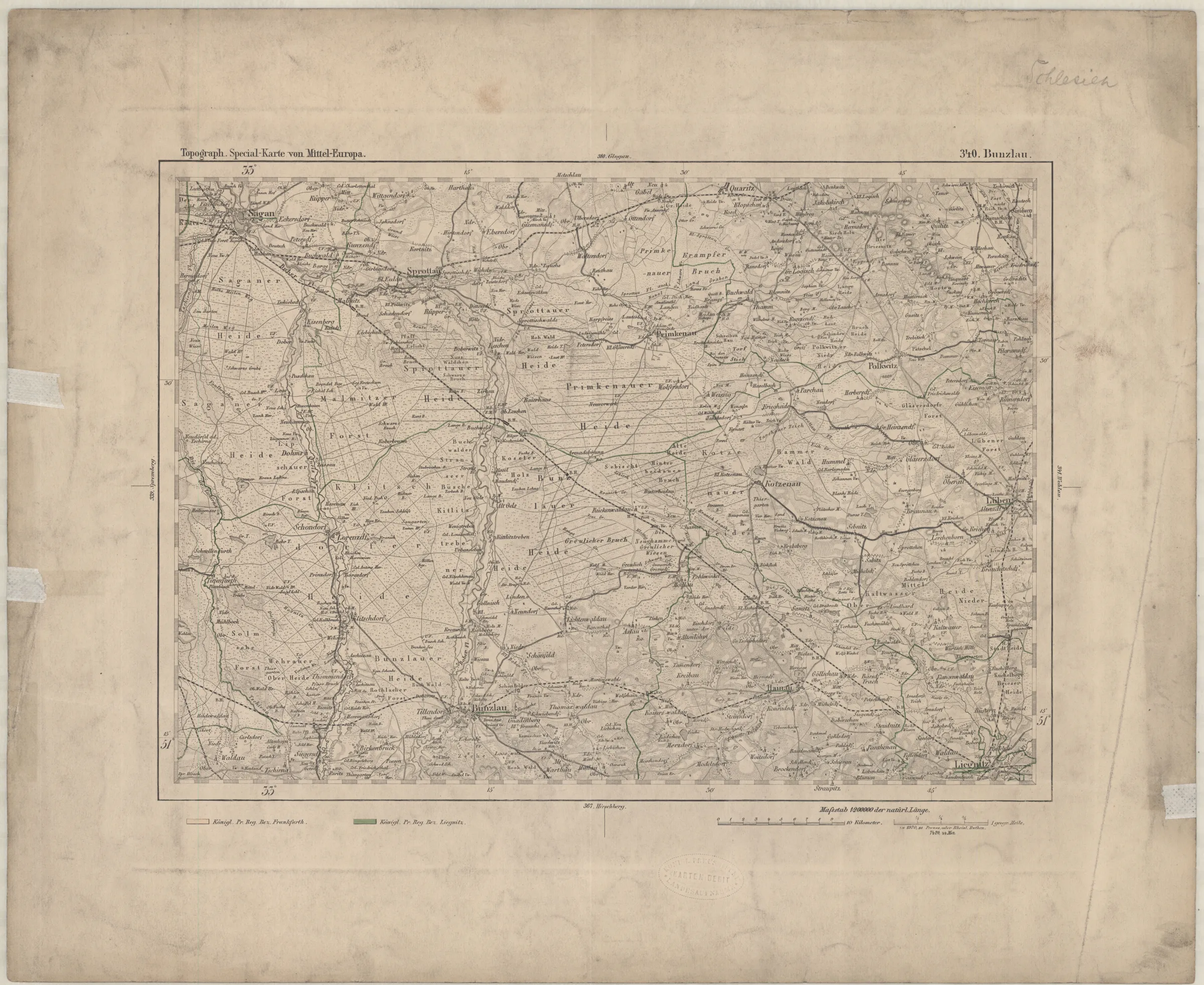
(1:200 000 Reymann's topographische Special-Karte von Central Europa)
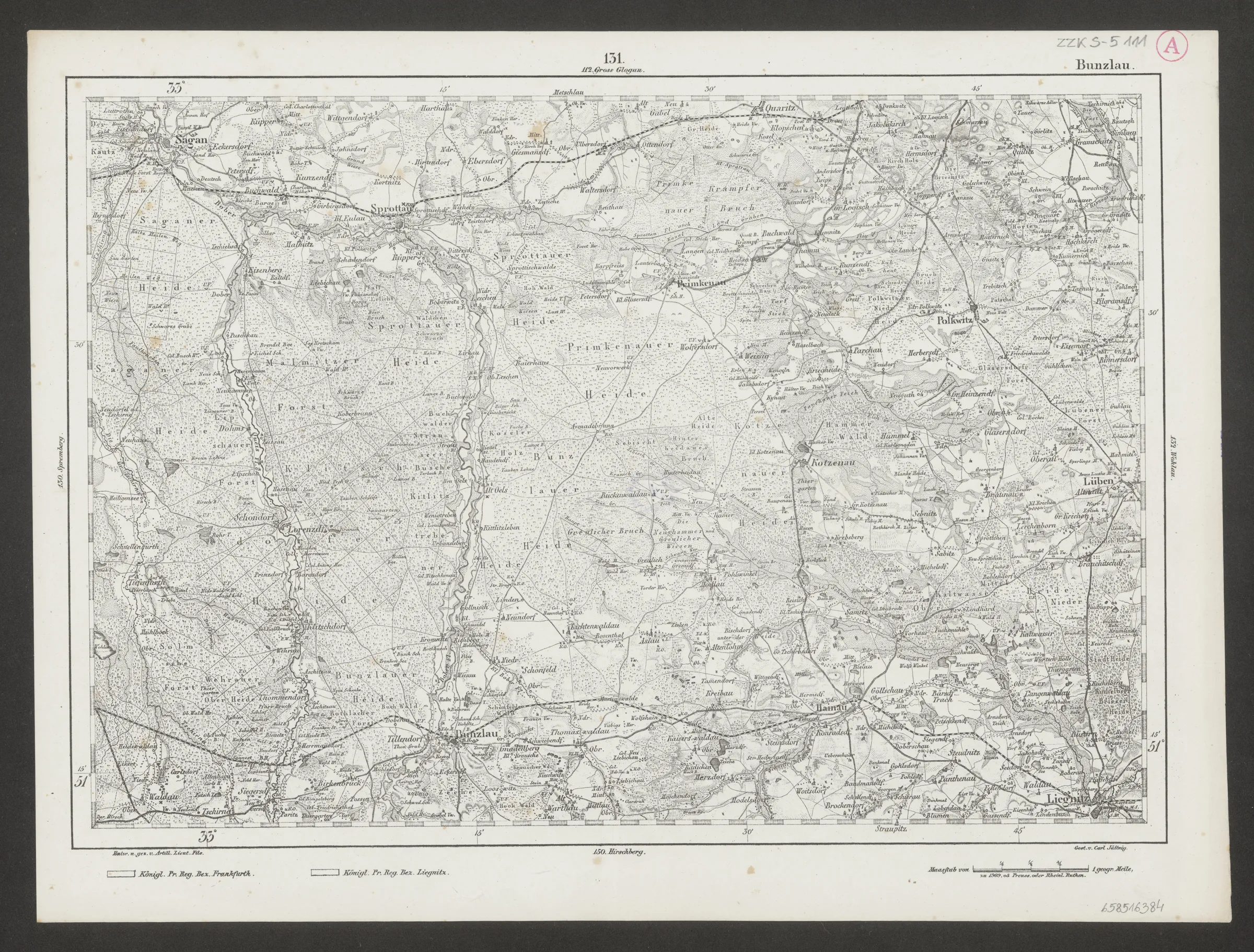
(1:200 000 Reymann's topographische Special-Karte von Central Europa)
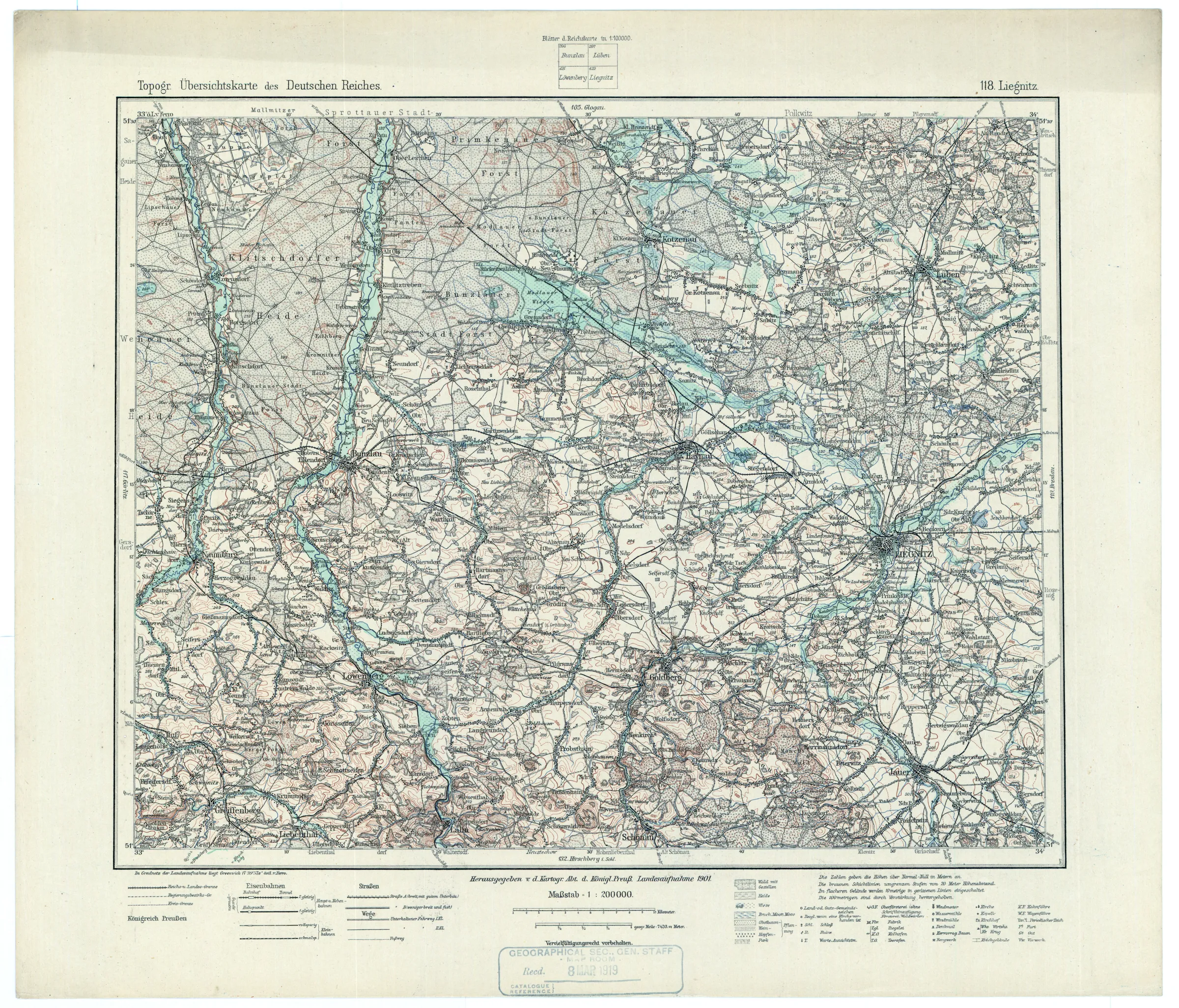
(1:200 000 Topographische Ubersichtskarte des Deutschen Reiches)
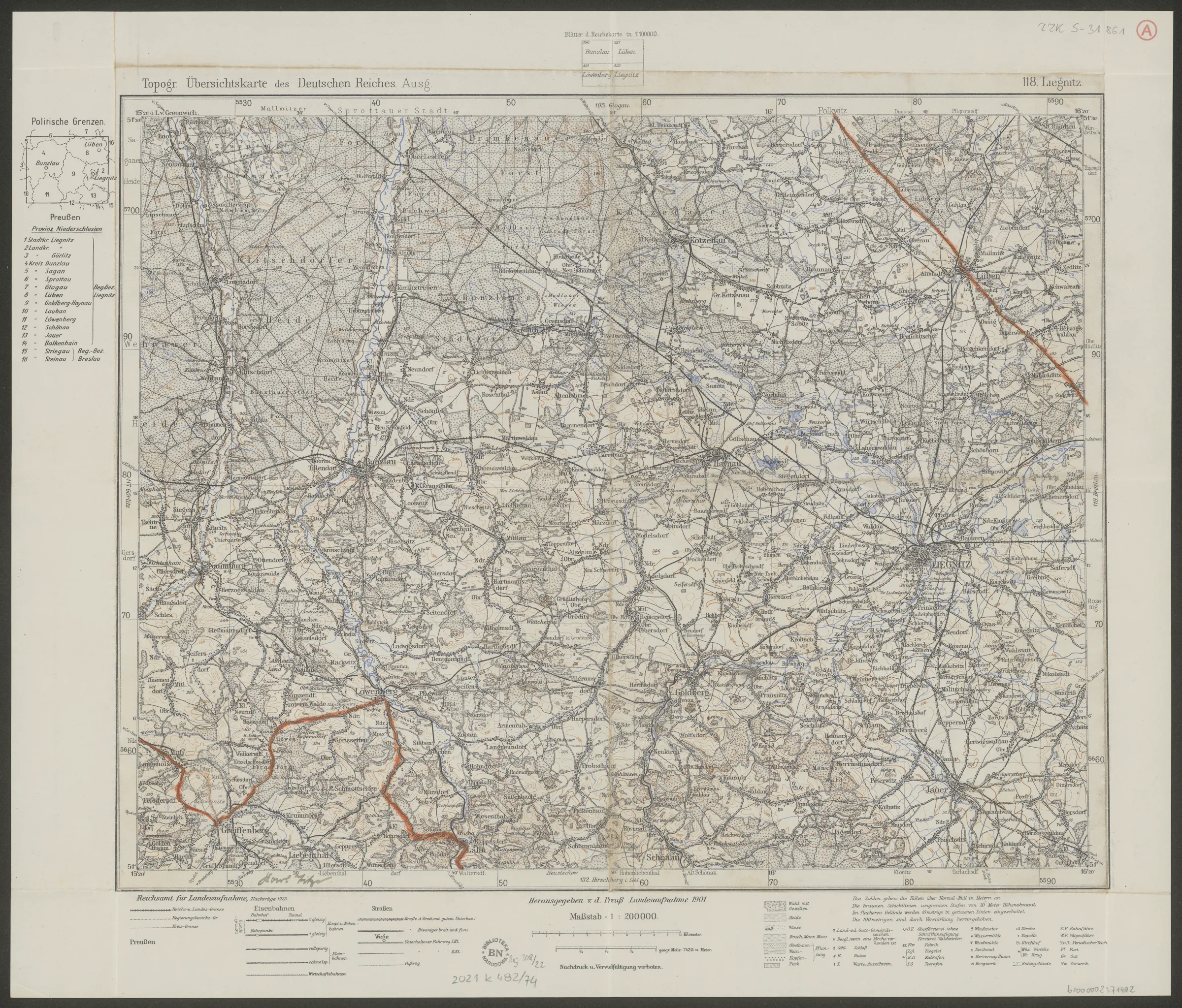
(1:200 000 Topographische Ubersichtskarte des Deutschen Reiches)
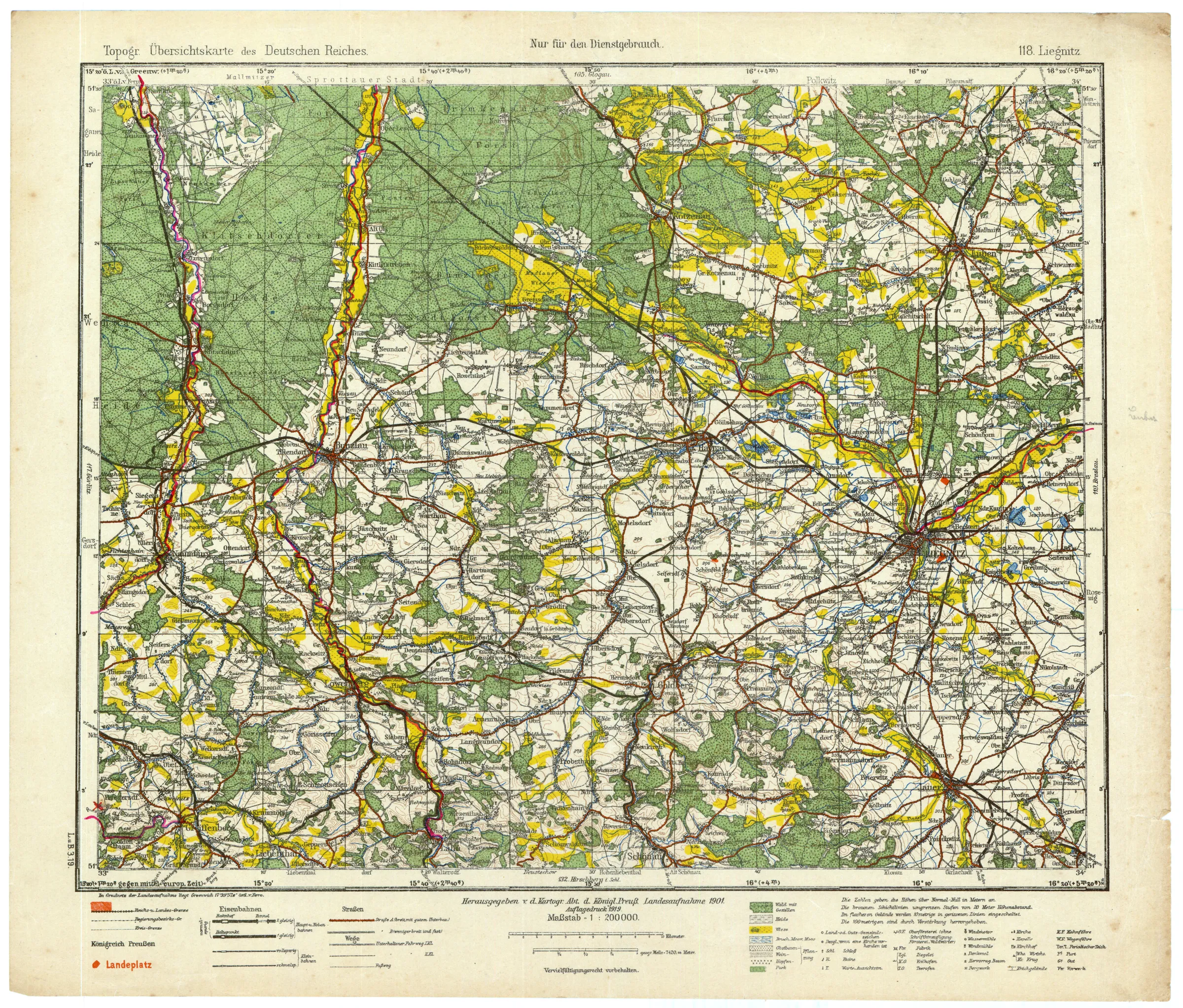
(1:200 000 Topographische Ubersichtskarte des Deutschen Reiches)
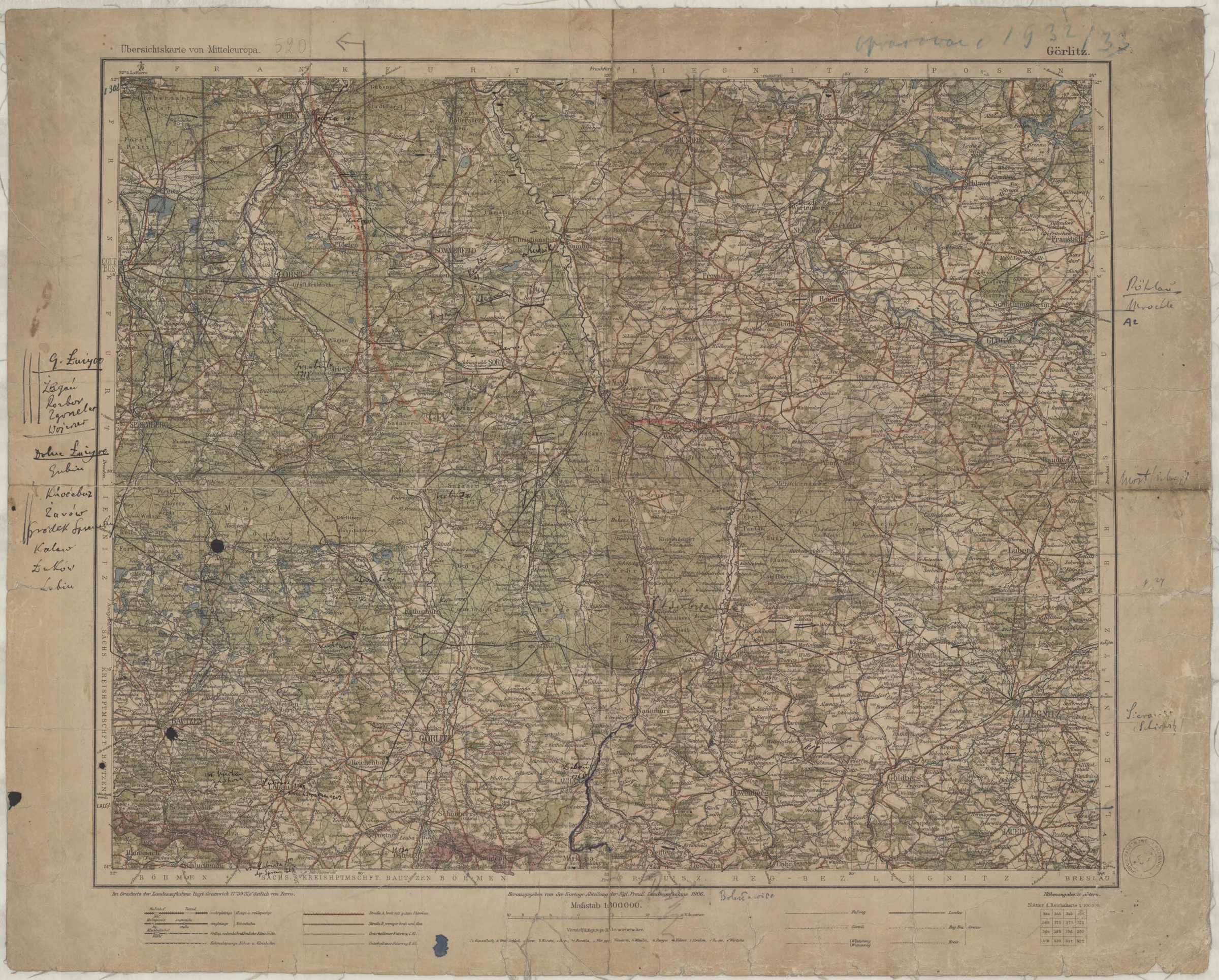
(1:300 000 Ubersichtskarte von Mitteleuropa+rozszerzenie)
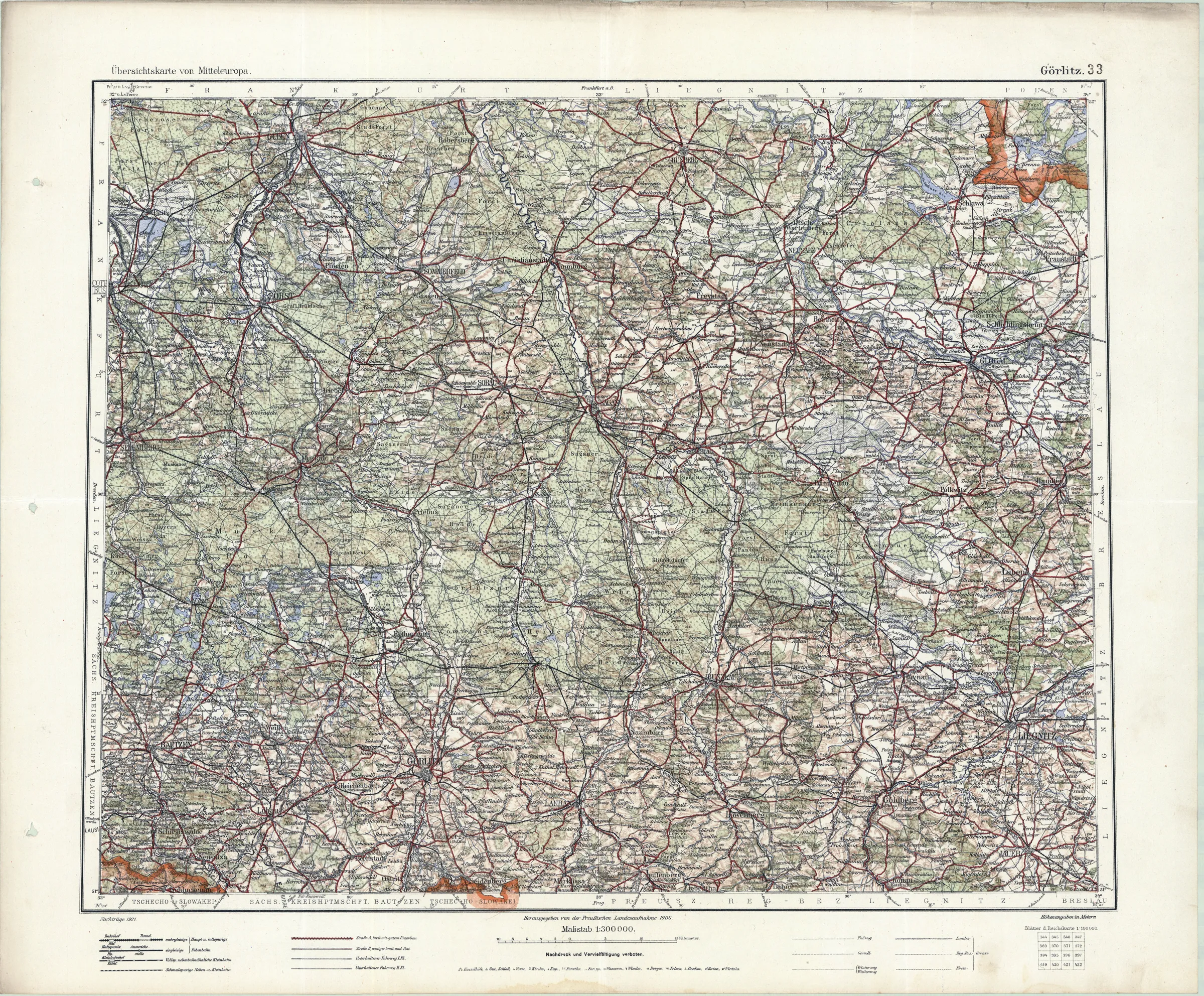
(1:300 000 Ubersichtskarte von Mitteleuropa+rozszerzenie)
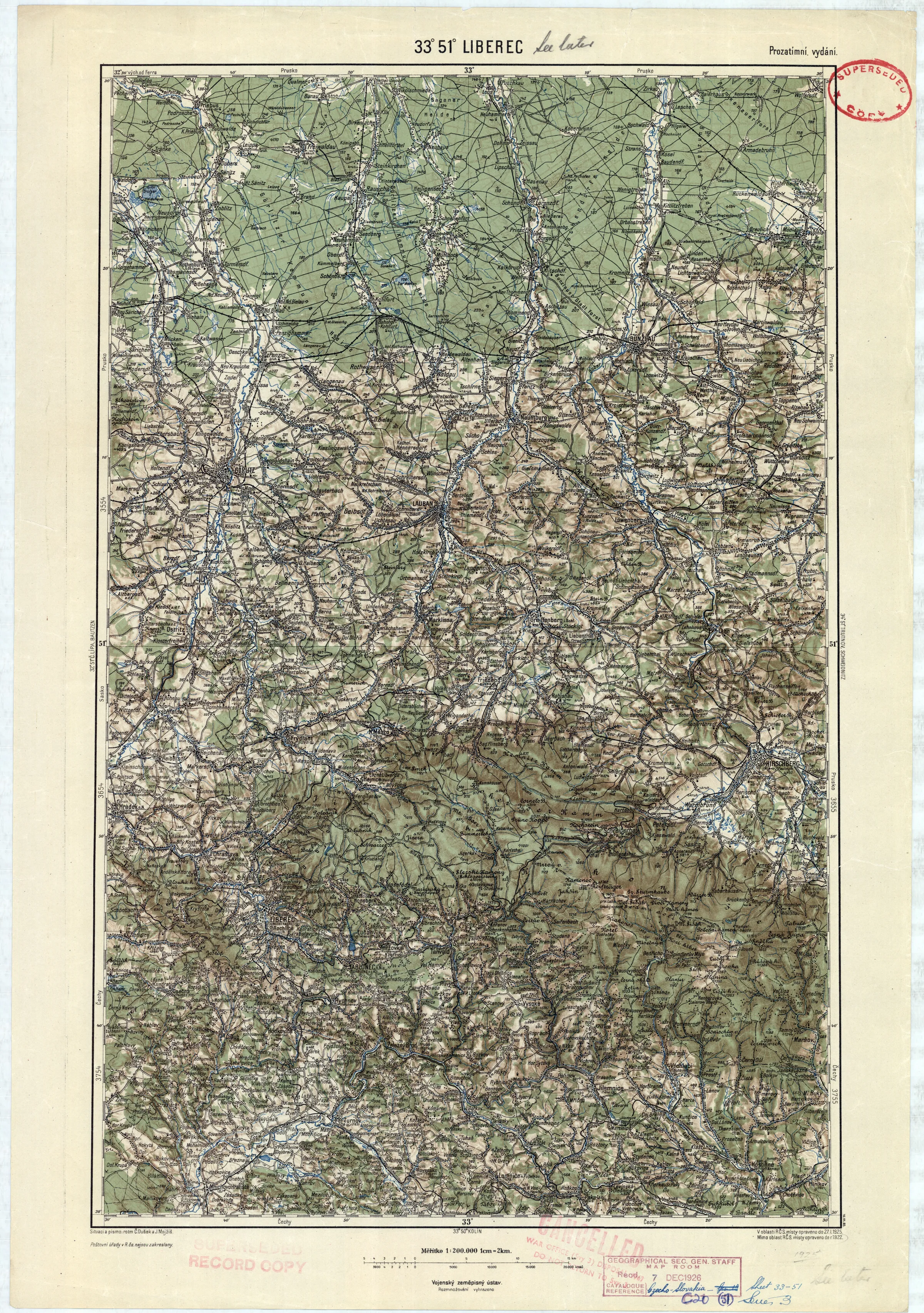
(1:200 000 Vojenský zeměpisný ústav (CS kontynuacja KuK GvME 200K))
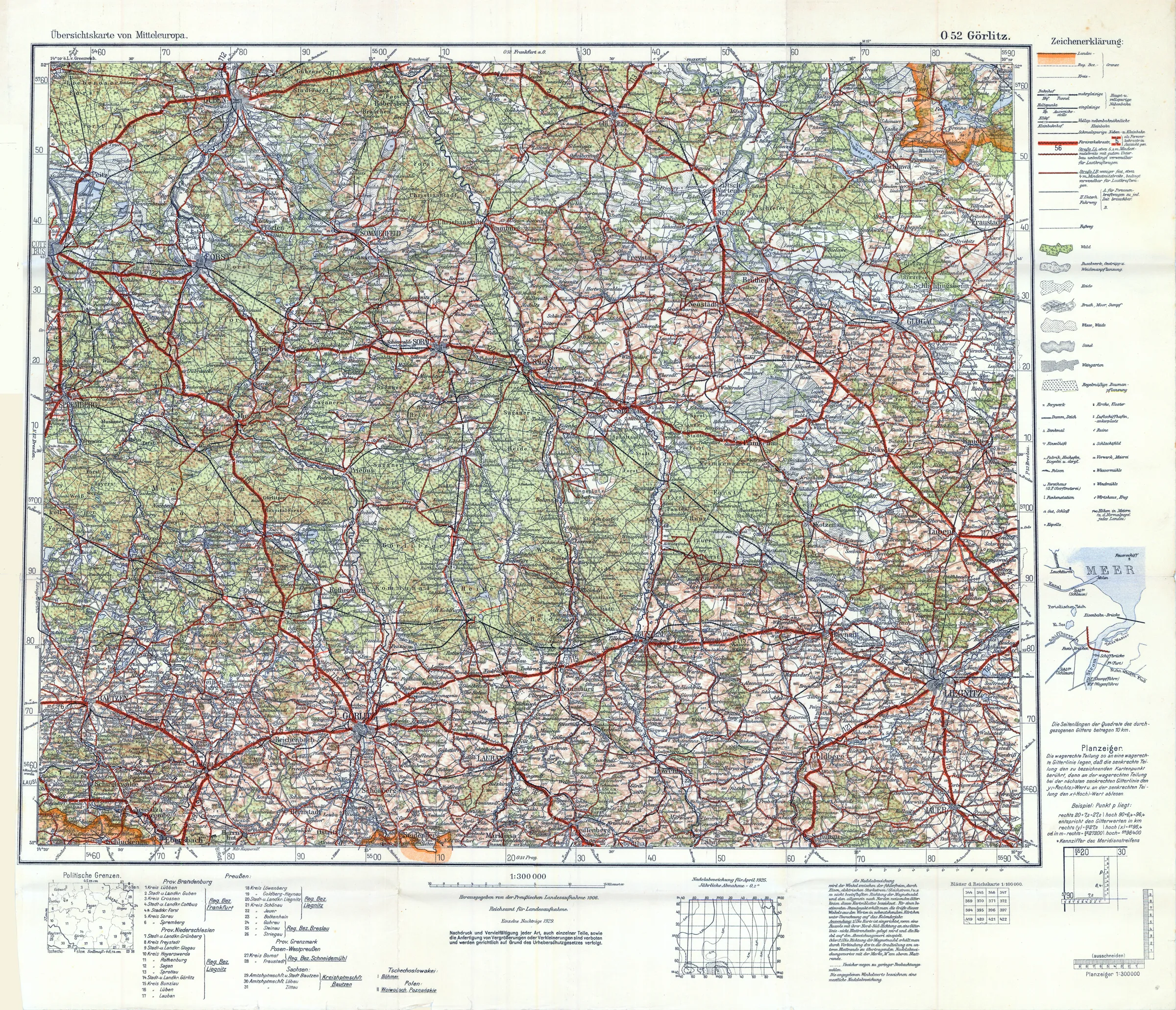
(1:300 000 Ubersichtskarte von Mitteleuropa+rozszerzenie)
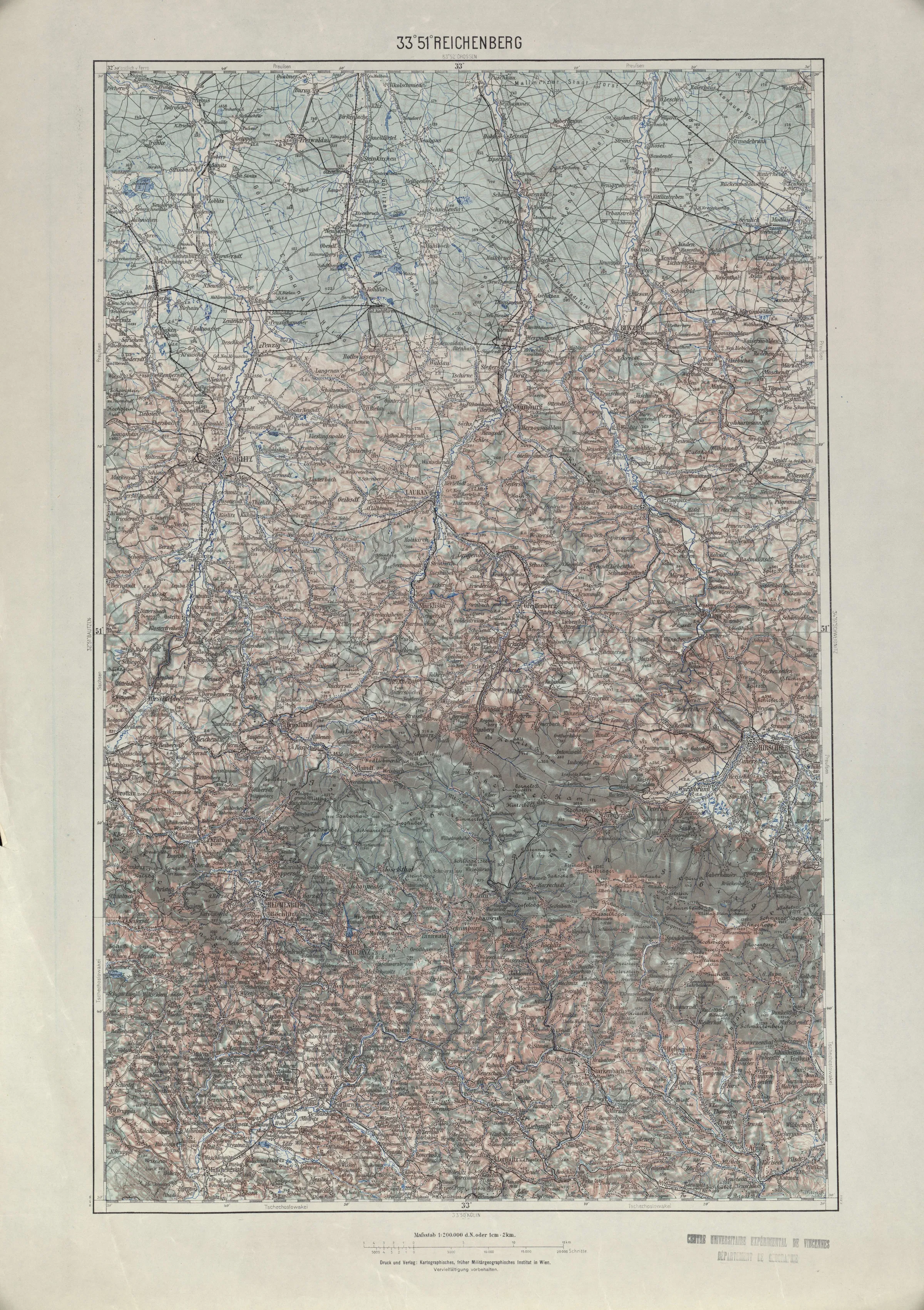
(1:200 000 Generalkarte von Mitteleuropa)
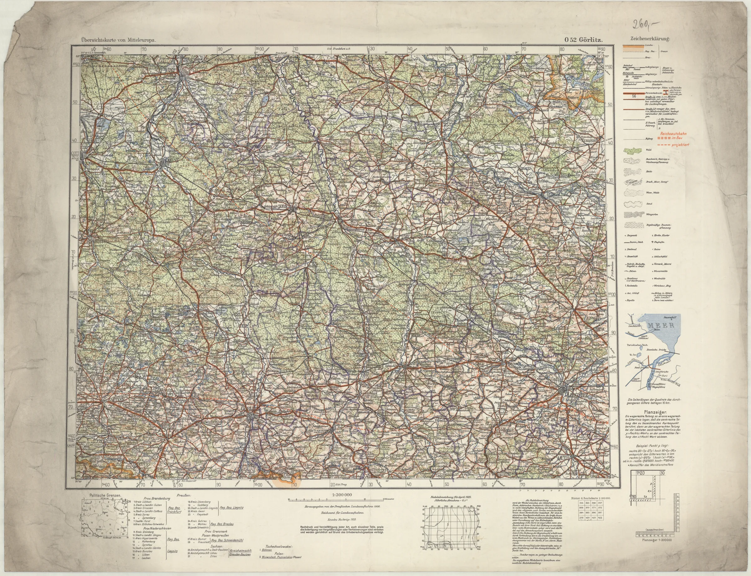
(1:300 000 Ubersichtskarte von Mitteleuropa+rozszerzenie)
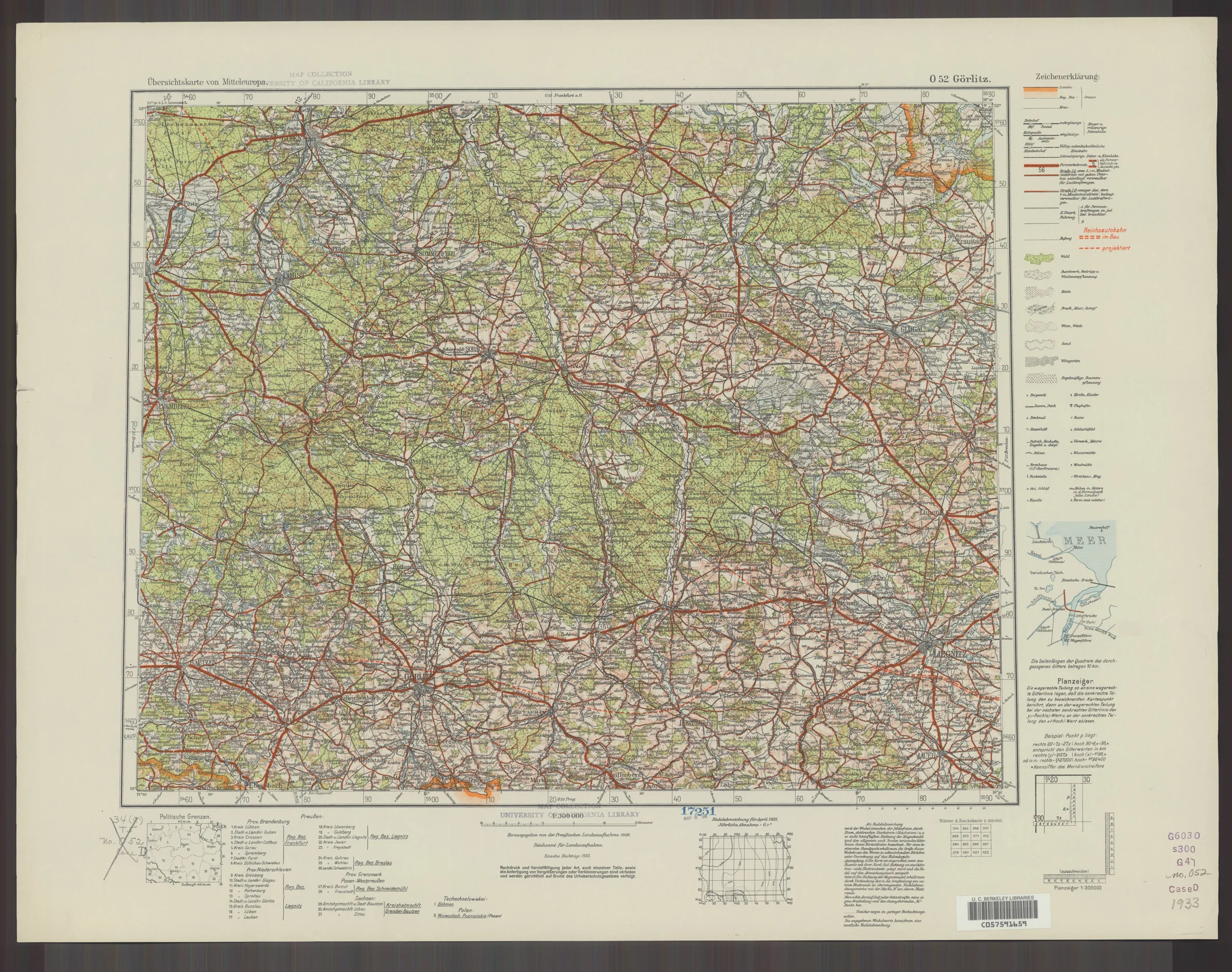
(1:300 000 Ubersichtskarte von Mitteleuropa+rozszerzenie)
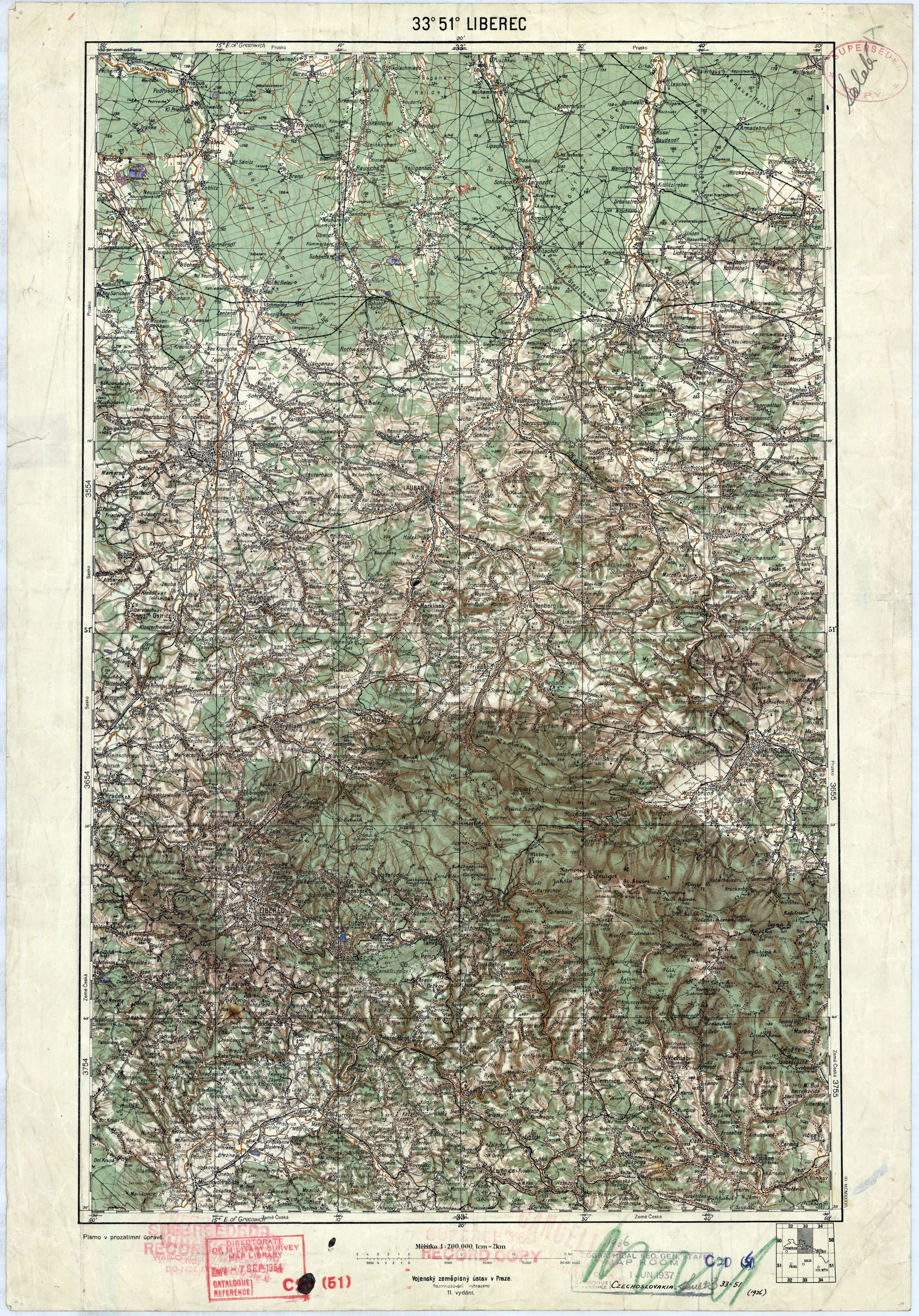
(1:200 000 Vojenský zeměpisný ústav (CS kontynuacja KuK GvME 200K))
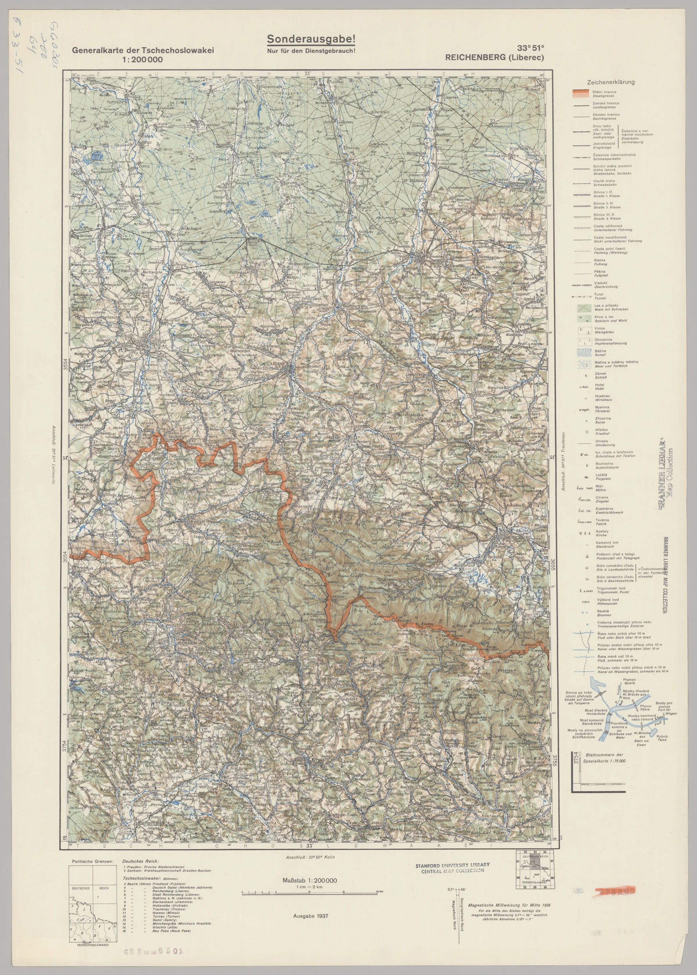
(1:200 000 Niemiecka kontynuacja KuK Generalkarte von Mitteleuropa)
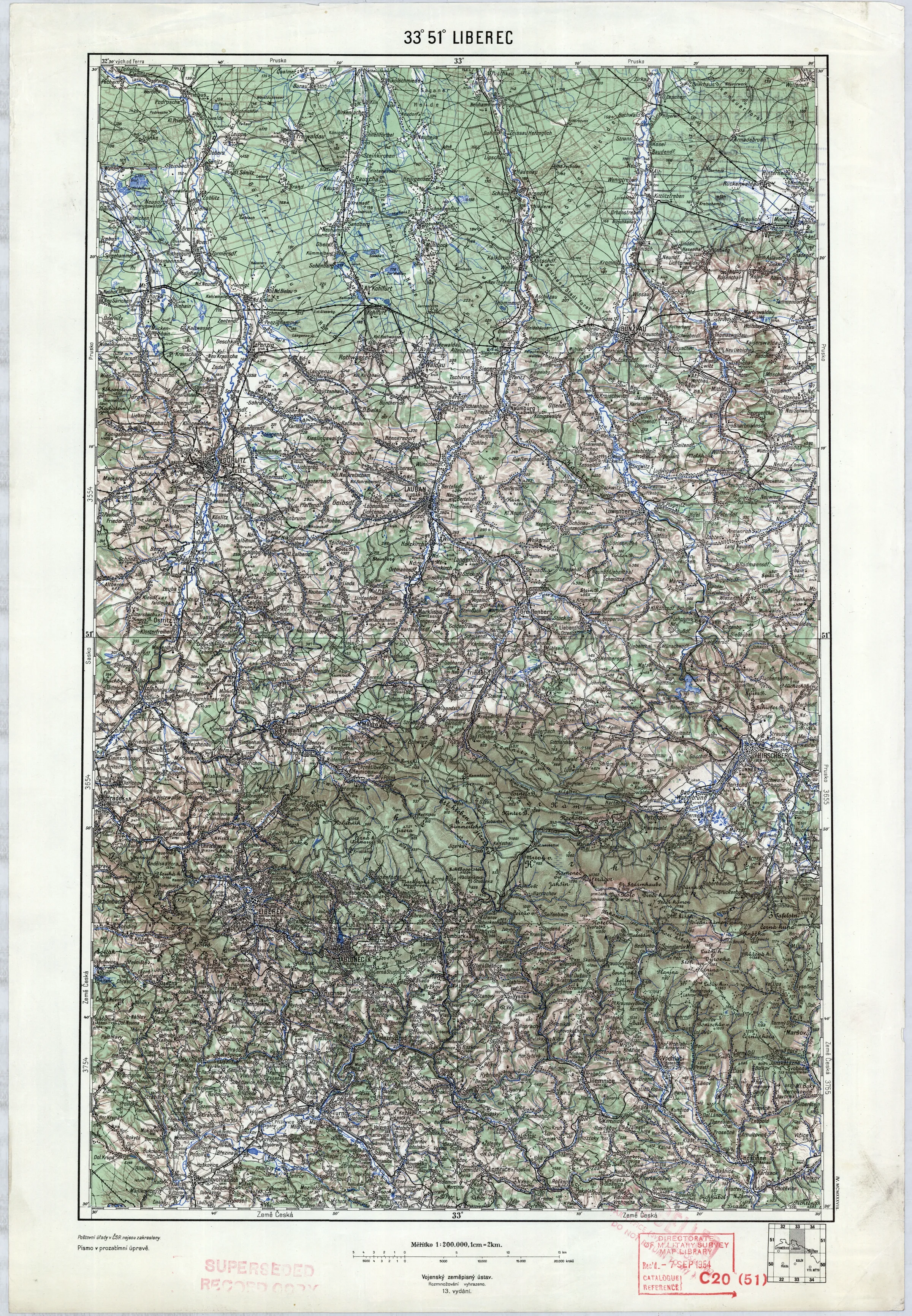
(1:200 000 Vojenský zeměpisný ústav (CS kontynuacja KuK GvME 200K))
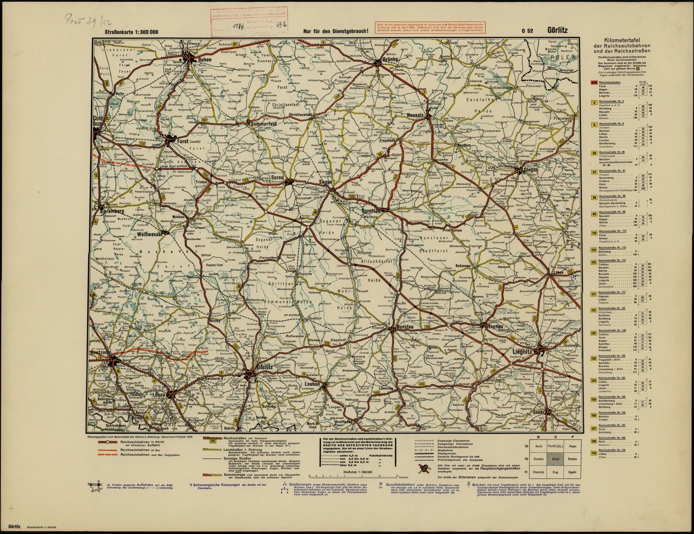
(1:300 000 Ubersichtskarte von Mitteleuropa+rozszerzenie)
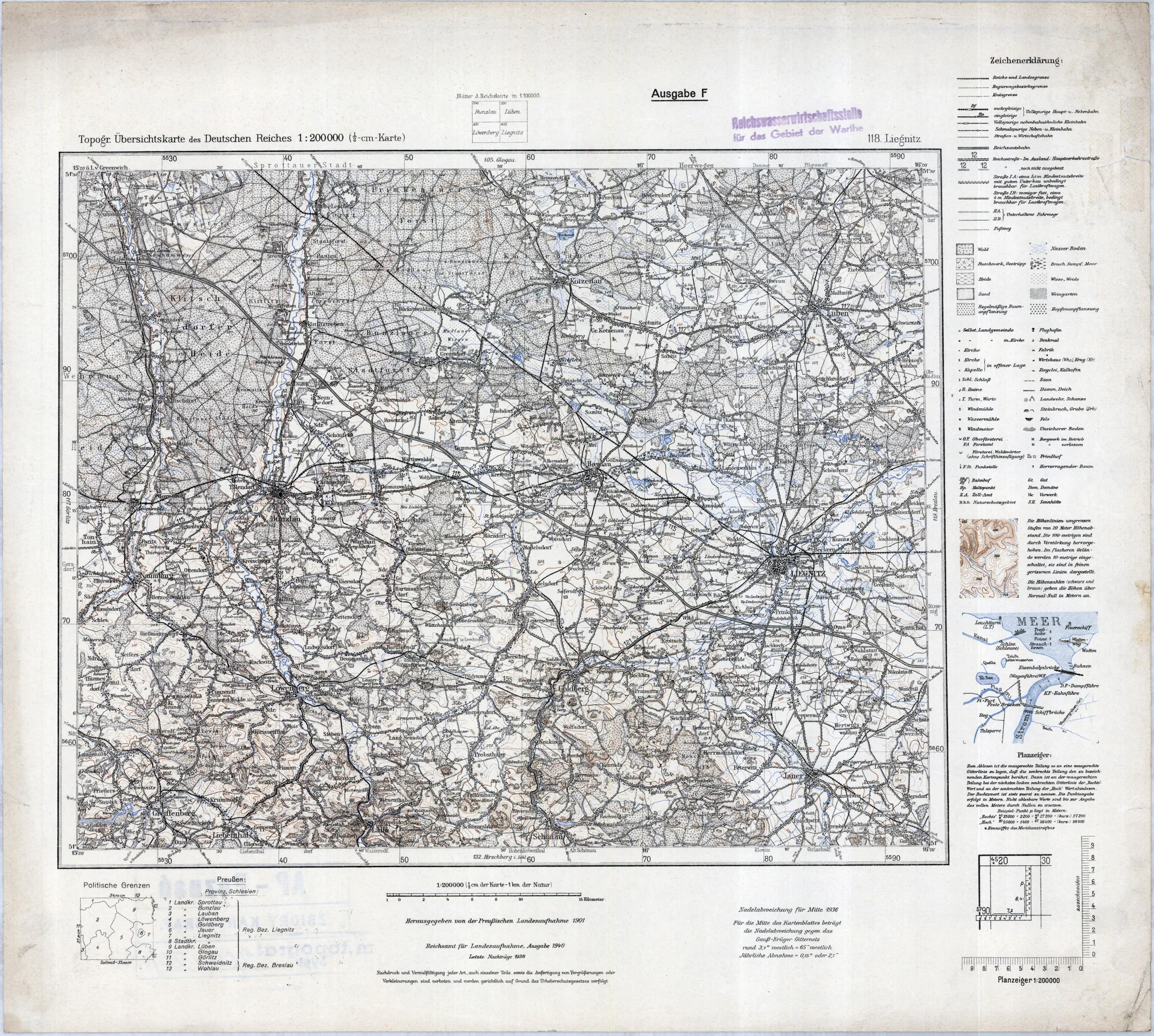
(1:200 000 Topographische Ubersichtskarte des Deutschen Reiches)
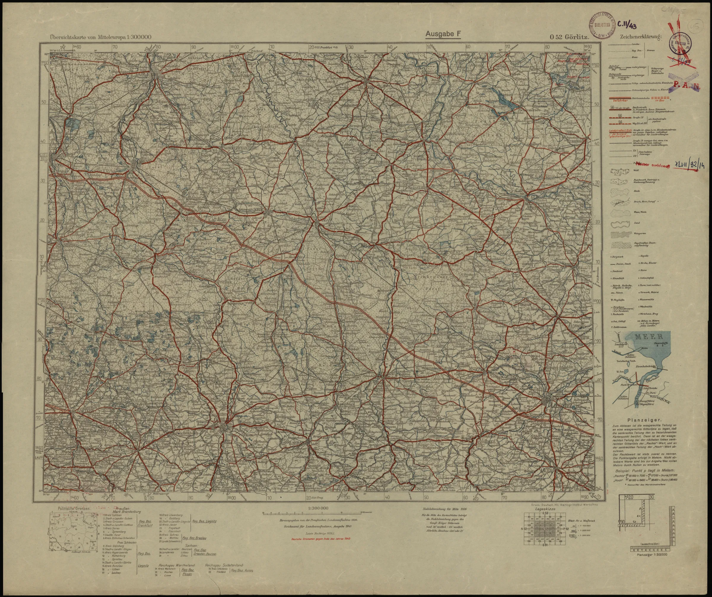
(1:300 000 Ubersichtskarte von Mitteleuropa+rozszerzenie)
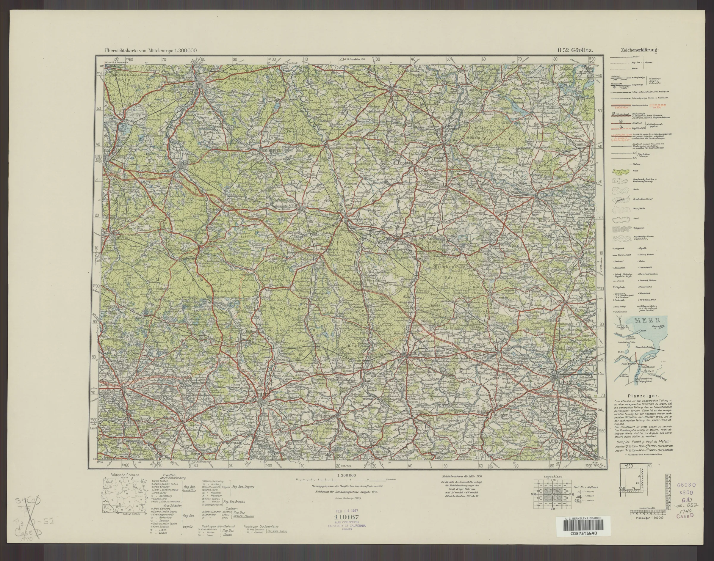
(1:300 000 Ubersichtskarte von Mitteleuropa+rozszerzenie)
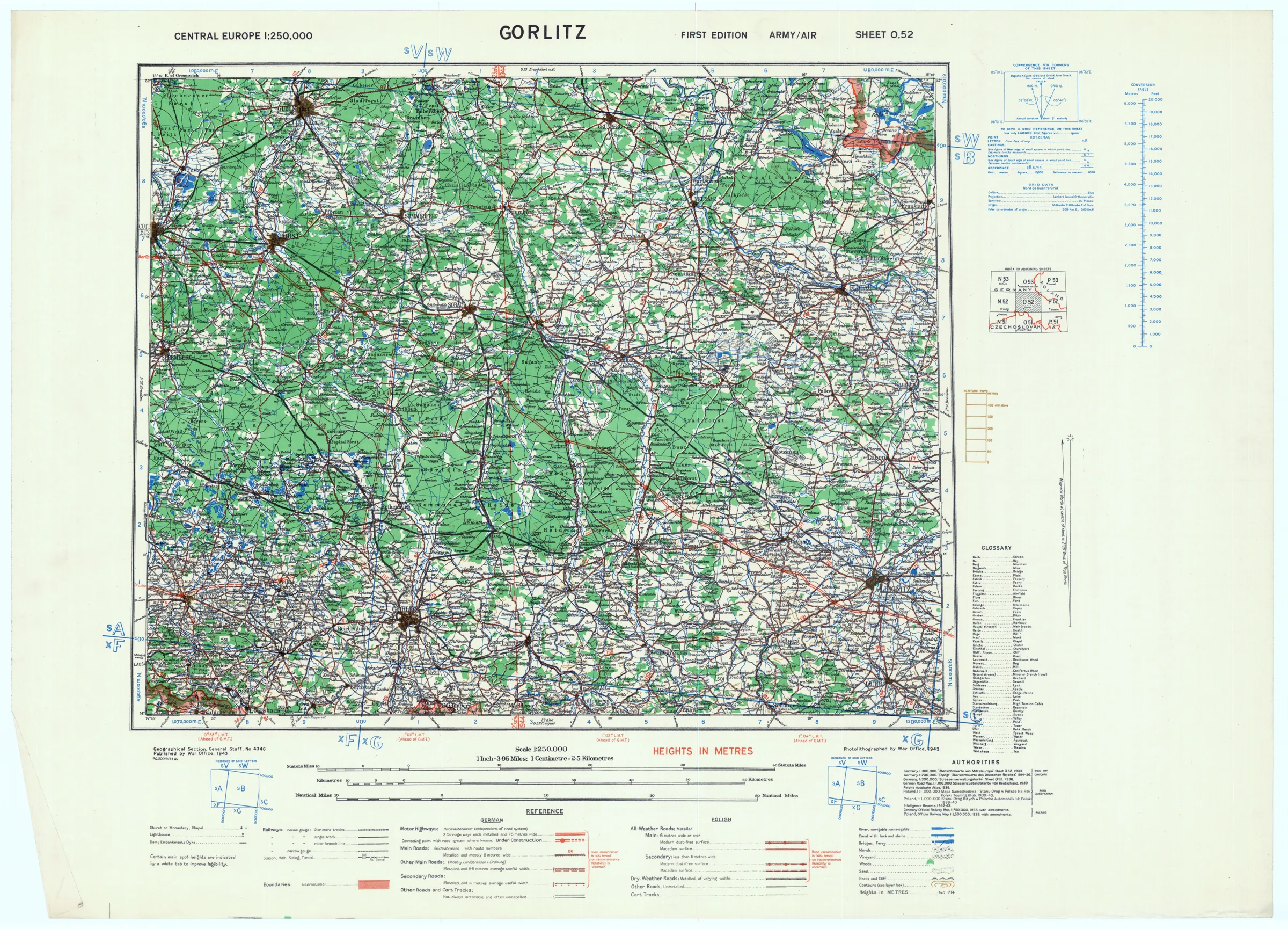
(1:250 000 GSGS 4346 / AMS M508 Germany & Central Europe)
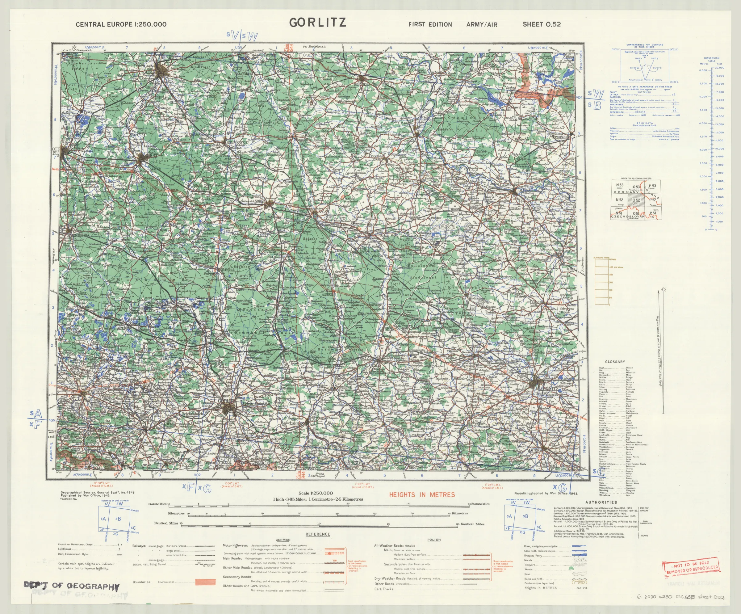
(1:250 000 GSGS 4346 / AMS M508 Germany & Central Europe)
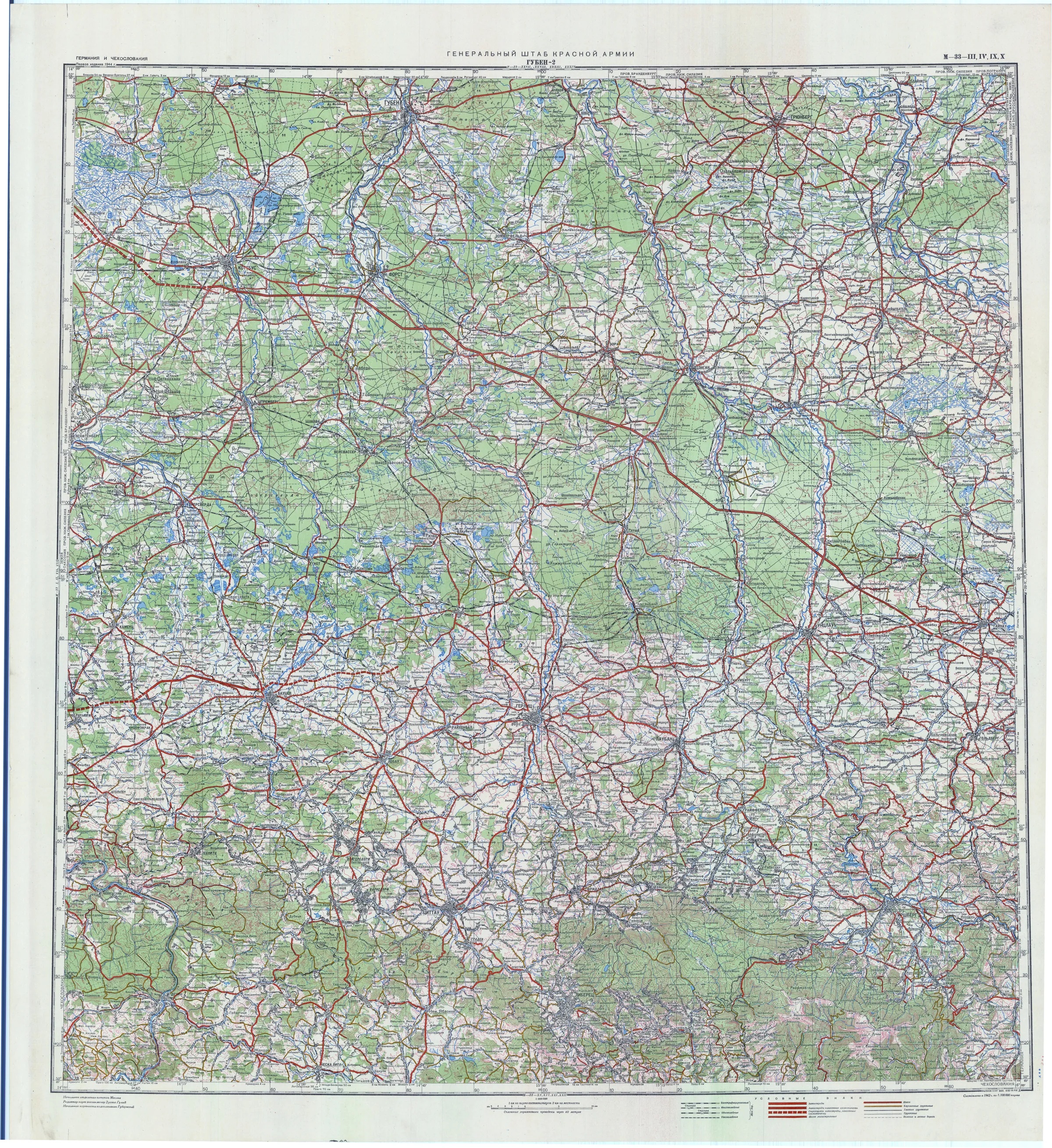
(1:200 000 Генеральный Штаб Рабоче-Крестьянской Красной Армии (лист x4))
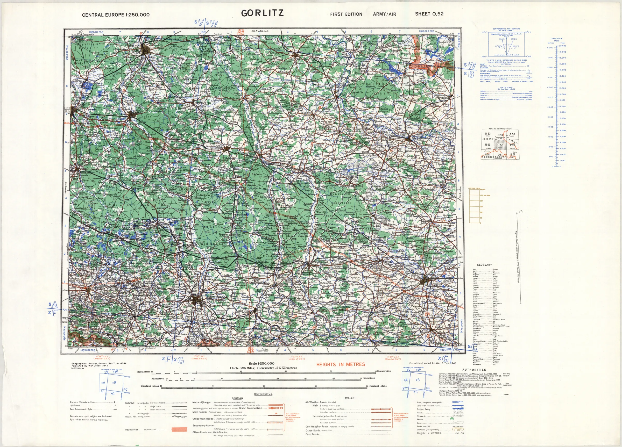
(1:250 000 GSGS 4346 / AMS M508 Germany & Central Europe)
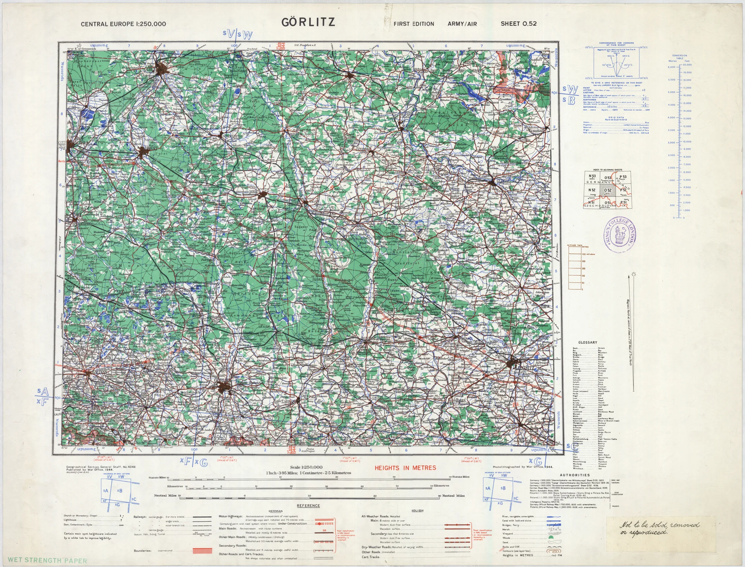
(1:250 000 GSGS 4346 / AMS M508 Germany & Central Europe)
Post-war and military maps
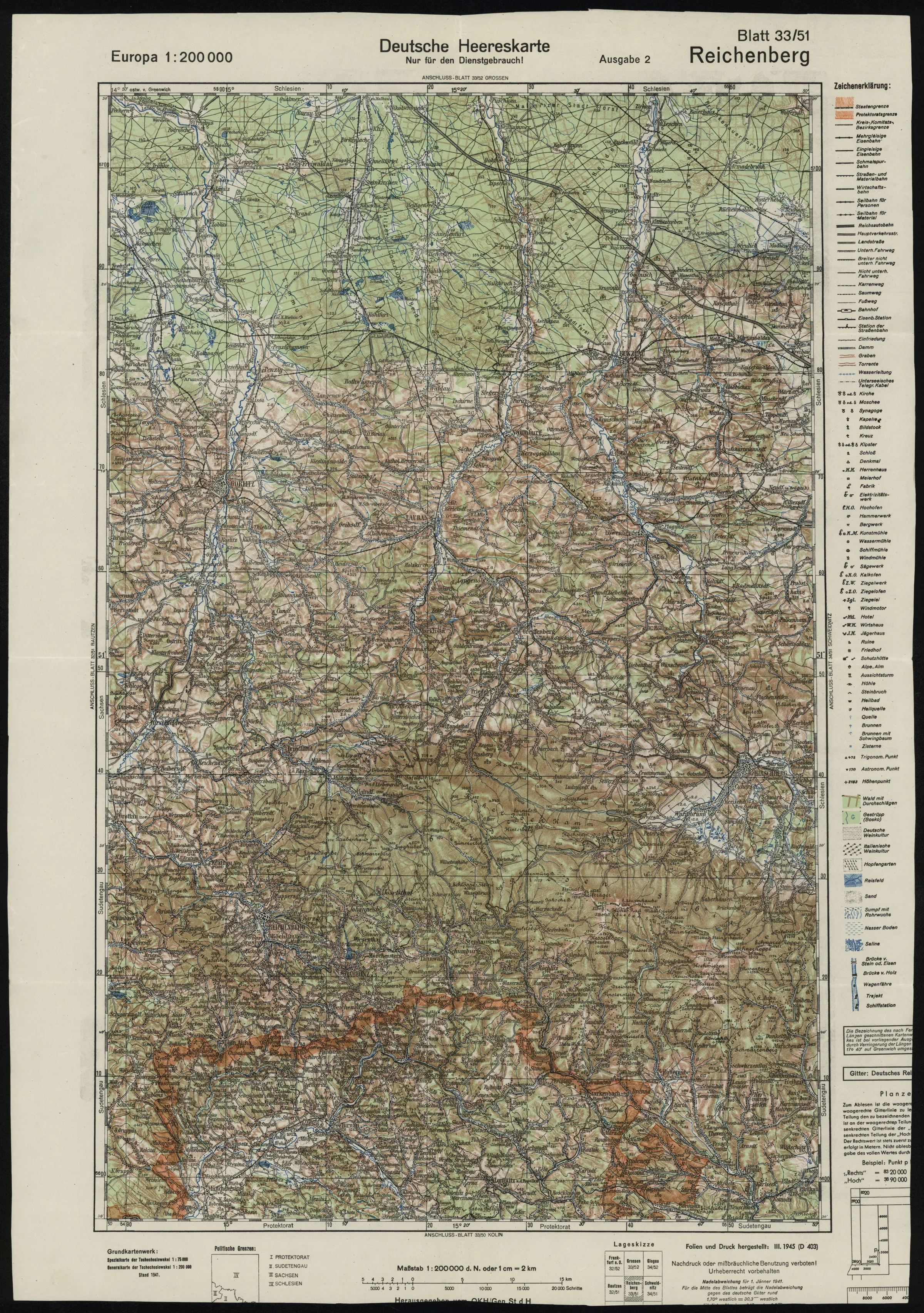
(1:200 000 Niemiecka kontynuacja KuK Generalkarte von Mitteleuropa)