Brzeźnik / Maps

Lost places

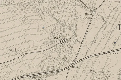
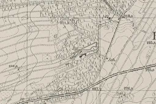
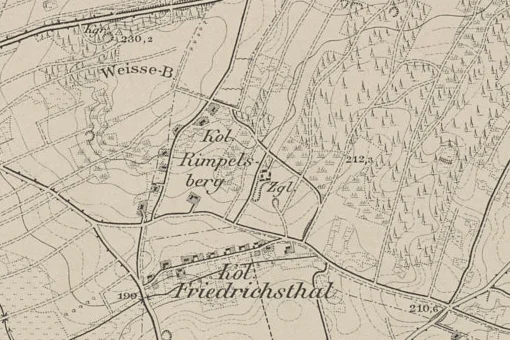
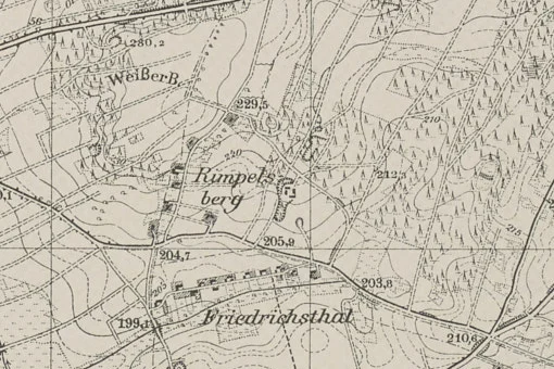
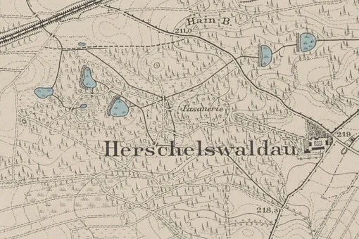
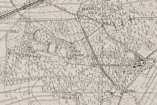
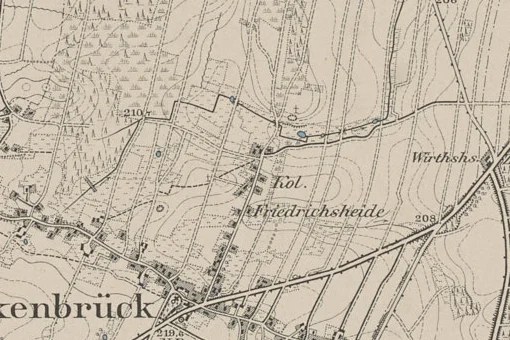
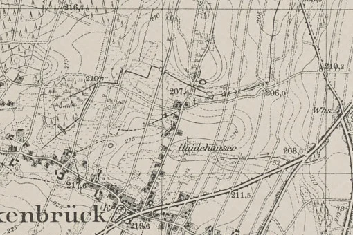
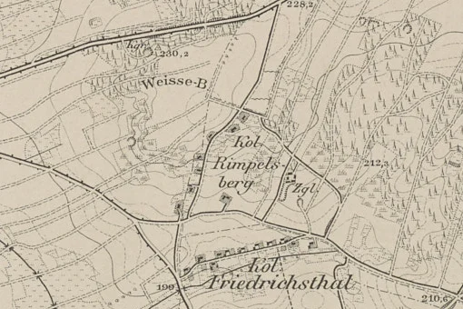
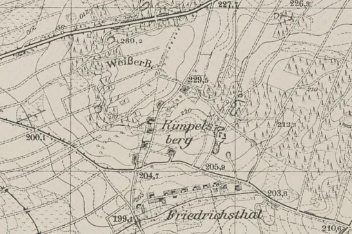
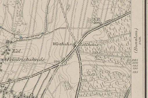
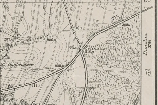
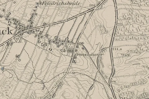
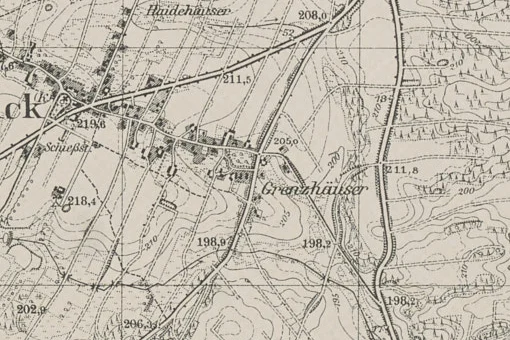
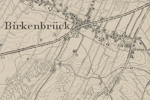
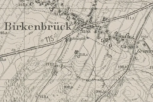
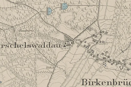
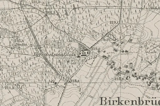
Hamlets, a manor farm, brickworks and a pheasantry that no longer exist — on the maps of 1888 and 1939.

photo 1942 · polska-org.pl

Hamlets, a manor farm, brickworks and a pheasantry that no longer exist. Overlay the maps of 1888 and 1939 or aerial photos on today's map.

Herschelswaldau farm and quarry

The manor was built in the 1840s by miller Herschel from Parzyce. In 1873, the estate covered 1149 morgen (the owner was G. F. H. Perlitz, and from 1874 the district chief of Birkenbrück). There was a lignite mine nearby called ‘Herschelswaldau’ – in 1928, two people died in an accident there. The manor no longer exists today. The ruins of the manor are now in the forest: the foundations of the barn and the stables, the round cellar of the manor house, the silo pits, and the gate post. The manor was damaged in the fighting in February 1945, and the remaining walls were looted after the war; there is also a collapsed mine shaft.

Brickyard at Herschelswaldau

Brickyard (Ziegelei) to the west of the village, marked on the map from 1888; in the 20th century it was connected by a railway siding. Only the chimney has survived from the plant. The two brickyards were connected by a narrow-gauge railway on an embankment, transporting clay and bricks to the siding on the Wrocław-Zgorzelec line; the brickyard had kilns with underground channels, and steel flaps have survived next to the chimney.

Brickyard at Rimpelsberg colony

The second brickyard, southwest of the village, near the Rimpelsberg colony; a chimney also remained after it. Its chimney is visible on the right when driving towards Zebrzydowa, and the flooded excavation site is now called the Turkusowe Jeziorko (Turquoise Lake).

Zollhaus inn

An inn at the crossroads of the highway and the road to Bolesławiec, marked as early as 1888 (Wirthshaus Zollhaus); from 1925 to 1930, the inn of Wilhelm Jesse (Gasthof Zollhaus). It stood at the current junction of the roads to Lwówek and Nowogrodziec, where the petrol station is now located, until the end of the war.

Sports shooting range (Schießstand)

On the 1939 topographic map, south of the church and beyond Reichsstraße 115 (the present-day DK94), there is the label “Schießst.” — Schießstand, a shooting range. The 1888 map shows no shooting range here, so it was probably built around the turn of the 20th century. The commune's film mentions a pre-war sports shooting range, and according to the TV Łużyce film the concrete casing of the bullet stop still stands, clearly visible since the bushes were cut back. The location is approximate (taken from the map) — we will pin it down in the field.

Help build the archive

Do you have an old photo or a memory?

Help preserve the memory of Brzeźnik. Every postcard, document or family story can be a valuable piece of the village's history.

Share material
Search the site